Mid-Atlantic winter storm creates hazardous travel conditions
Officials are warning drivers in certain areas to avoid travel unless its essential
The first major winter storm of 2025 is hitting parts of the U.S. with blizzard conditions and freezing rain, creating hazardous travel conditions.
Officials from the National Weather Service (NWS) are urging drivers in certain areas to avoid traveling unless it's essential, after a winter storm already hammered a large swath of the country.

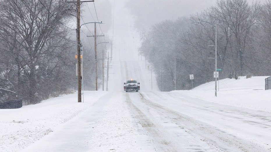
A vehicle cautiously drives down a snowy road on Jan. 5, 2025 in Shawnee, Kansas. (Chase Castor/Getty Images / Getty Images)
On Sunday evening, the National Weather Service (NWS) office covering the Baltimore and Washington D.C. areas posted on X that it's "highly recommended" to postpone travel if it is not essential.
"Conditions will rapidly deteriorate tonight with untreated & unplowed roads becoming impassable. During times of heaviest snow, between midnight and mid-morning Monday, even primary & treated roads will be impassable. It is highly recommended to postpone non-essential travel," the NWS wrote.
SNOWSTORM CANCELS MORE THAN 1,000 FLIGHTS, DELAYS HUNDREDS OF OTHERS ACROSS US
The office forecast that "periods of heavy snow" will continue Monday morning with some sleet and freezing rain starting to mix in.
It is projected that another round of snow will hit the area on Monday evening.
Meanwhile, the Maryland Transportation Authority posted on Monday morning that if travel is essential, then drivers need to ensure they don't speed or pass any plows or salt trucks. They also need to keep their headlights on, according to the Maryland Transportation Authority.
The NWS office in Pennsylvania projected that light to moderate snow would continue Monday morning and followed by "another round of steady snow" that's projected to hit the southern part of the state by Monday evening.
The office warned that if people have to travel they should plan extra time to get to their destination.
The NWS office in Virginia also warned that the combination of snow, sleet, and freezing rain will continue to "impact travel across the region, resulting in dangerous conditions" especially across the Piedmont, a plateau region located in the Eastern United States, central Virginia and the Eastern Shore.
While the NWS office in New York warned the area will see an "extended period of cold weather," it won't get the brunt of the storm.

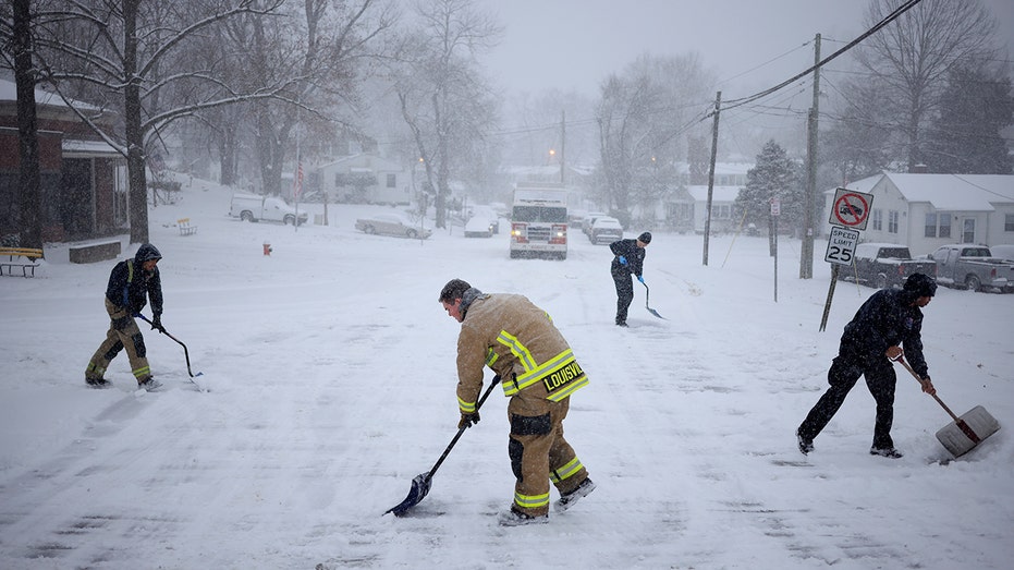
Firefighters with Louisville Fire Department Quint 9 shovel snow in front of their station on Jan. 5, 2025, in Louisville, Kentucky. (Luke Sharrett/Getty Images / Getty Images)
The office projected that there will be light snow in the area on Monday but "less than an inch of accumulation is expected, with some only seeing a dusting or no snow at all."
GET FOX BUSINESS ON THE GO BY CLICKING HERE
The storm initially began on the West Coast, where it spawned the first tornado of the year in California.
It moved in to the Plains and Midwest over the weekend, creating blizzard conditions at the Kansas City Internation Airport. The sleet and freezing rain also led to accidents across the region from Kansas and Missouri through the Ohio Valley.
FOX Weather contributed to this report.


